forked from libjohn/mapping-with-R
-
Notifications
You must be signed in to change notification settings - Fork 0
Expand file tree
/
Copy pathindex.Rmd
More file actions
58 lines (33 loc) · 2.08 KB
/
index.Rmd
File metadata and controls
58 lines (33 loc) · 2.08 KB
1
2
3
4
5
6
7
8
9
10
11
12
13
14
15
16
17
18
19
20
21
22
23
24
25
26
27
28
29
30
31
32
33
34
35
36
37
38
39
40
41
42
43
44
45
46
47
48
49
50
51
52
53
54
55
56
---
output:
html_document:
toc: FALSE
---
[**Slides**](/slides/)
[Code for Hands-on Workshop -- Spring 2019](https://github.com/libjohn/map-spring2019)
## Overview
These learning and quick-reference resource pages support the face-to-face workshop, [Mapping with R](https://rfun.library.duke.edu/portfolio/mapping_workshop/), offered via the [Data & Visualization Services](https://library.duke.edu/data/) Department, Duke University Libraries. The exercises and workshop are designed to help you learn georeferencing, make a [choropleth](https://en.wikipedia.org/wiki/Choropleth_map) with USA census data via the [tidycensus](https://walkerke.github.io/tidycensus/) package, and briefly introducing the [sf](http://r-spatial.github.io/sf/) package, simple features.
<div class = "picture1">
<iframe width="450" height="315" src="https://www.youtube.com/embed/np38vEHSxLU" frameborder="0" allow="accelerometer; autoplay; encrypted-media; gyroscope; picture-in-picture" allowfullscreen></iframe>
</div>
During the Workshop we introduce
- Georeferencing latitude and longitude
- Choropleths
- Polygons (shapes)
- Census Geography
- Briefly introduce ACS and Decennial census
- Census API keys
- Thematic mapping using _Simple Features for R_
## Workshop Resource Page
1. Georeferencing, Plotting XY latitude & longitude: with [interactive `mapview` maps](01_georeference.html) and saving static maps.
1. [Choropleths with tidycensus](02_choropleth.html)
1. [Thematic Mapping](030_thematic_sf.html) with `ggplot2`, `geom_sf`, `tigris`, and `viridis`. Additionally we show faceting mapping, and saving map images and files. We also introduce `tmap` a full featured thematic mapping package.
## Hands-on Exercises
- [Exercises](exercises.html)
## Supporting Materials
- [**Slides**](slides)
- [Software / Package Prequisites](software_prereqs.html)
- [Next Steps](next.html): Moving toward GIS analysis, raster analytics, etc.
<figure>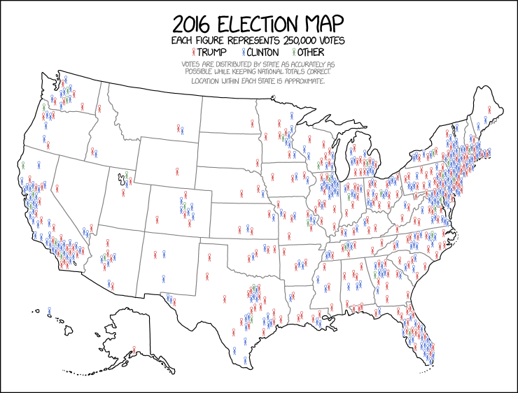<figcaption>KXCD. 2016 Election Map: https://xkcd.com/1939/</figcaption></figure><br>